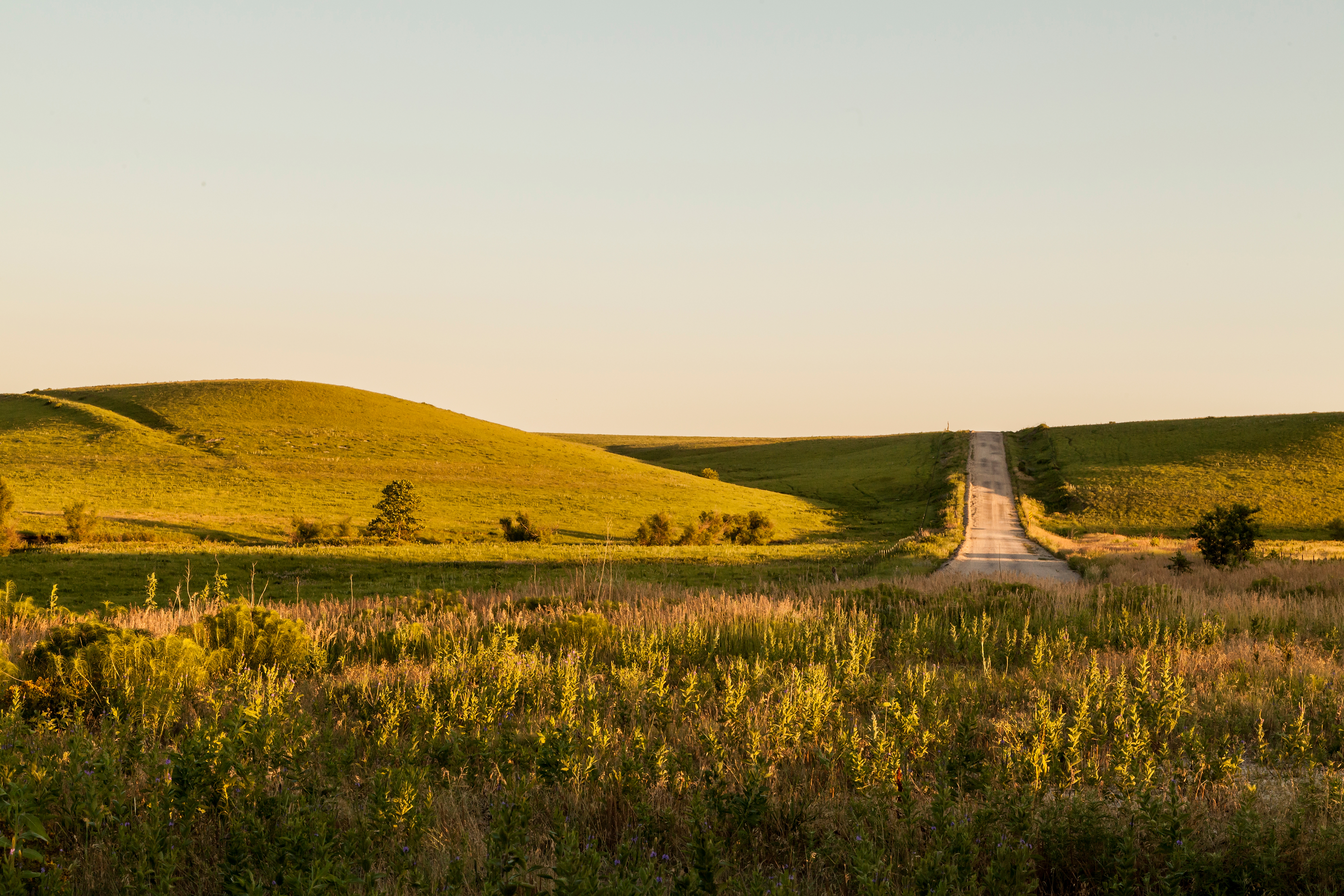

- Bluemont Hill Trail
-
Takes about 15 minutes to ascend the hill and reach the Manhattan letters, which overlook the city's east side.
Location: Ehlers Road on Bluemont Scenic Drive
Distance: 0.7 Miles
Surface: Natural
Type: Loop
Difficulty: Difficult
Lighting: No
Restrooms: No
Parking: Yes
Scenic Overlook: Yes
Tree Cover: Moderate
- Cecil Best Birding Trail
-
Location: 680 Knox Lane
Distance: 0.4 Miles
Surface: Natural
Type: Linear
Difficulty: Easy
Lighting: No
Restrooms: No
Parking: at Northeast Community Park
Scenic Overlook: No
Tree Cover: Full Shade
- CiCo Park Fitness Trail
-
One-sixth mile flat route on the western perimeter of the park.
Location: Wreath and Kimball Avenue
Distance: 0.6 Miles
Surface: Paved
Type: Loop
Difficulty: Easy
Lighting: No
Restrooms: Seasonal
Parking: Yes
Scenic Overlook: No
Tree Cover: None
- Clarenburg Trail at City Park
-
Route encircles City Park. Plenty of joggers/walkers on this trail with primarily wide paths.
Location: Poyntz Avenue & 11th Street
Distance: 1.0 Miles
Surface: Paved
Type: Loop
Difficulty: Easy
Lighting: Yes
Restrooms: Yes
Parking: Yes
Scenic Overlook: No
Tree Cover: Moderate
- Frank Anneberg Park Trail
-
Frank Anneberg Park Trail parallels Wildcat Creek. Primarily flat for walkers and runners.
Location: 3801 Anderson
Distance: 1.85 Miles
Surface: Paved/Gravel
Type: Loop
Difficulty: Easy
Lighting: No
Restrooms: Seasonal
Parking: Yes
Scenic Overlook: No
Tree Cover: Moderate
- Grand Mere Trail
-
Location:
- Coordinates: 39.208412, -96.634174
Distance: 1.50 Miles
Surface: Paved
Type: Linear
Difficulty: Moderate - Difficult
Lighting: No
Restrooms: at Fire Station
Parking: Yes, at Fire Station
Scenic Overlook: Yes
Tree Cover: None
- Hudson Trail
-
Just west of CiCo Park Hudson Trail stretches along the eastern edge of Colbert Hills Golf Course and continues just beyond Kauffman Drive, at which point the paved trail transitions to natural hiking area. Few steep inclines included
Location: Kimball and Candlewood
Distance: 1.0 Miles
Surface: Paved/Gravel
Type: Linear
Difficulty: Easy - Moderate
Lighting: No
Restrooms: No
Parking: No
Scenic Overlook: No
Tree Cover: None - Full
- Kansas Water River Trail
-
Float from Junction City to Kansas City on the Kansas River National Water Trail.
Boat Access:
- Fairmont Park Boat Launch, 161 McDowell Creek Rd
- Linear Park, Linear Trail
- Coordinates: 39.191759, -96.537727
Distance: 173 Miles
Surface: Water
Type: Linear
Difficulty: Moderate
Lighting: No
Restrooms: No
Parking: Yes
Scenic Overlook: No
Tree Cover: None - Full
- K-State Perimeter Loop
-
Location: Denison and Dickens
Distance: 3.9 Miles
Surface: Paved
Type: Loop
Difficulty: Easy - Moderate
Lighting: Partial
Restrooms: No
Parking: No
Scenic Overlook: No
Tree Cover: None
- Linear Trail
-
The longest trail in Manhattan, hop on this trail to experience the scenic sights of the Little Apple. Linear Trail runs parallel to the Kansas River, Big Blue River, and Wildcat Creek.
Distance: 9+ miles
Surface: Paved/Gravel
Type: Linear
Difficulty: Easy
Lighting: No
Restrooms: at Fire Station
Parking: Yes
Scenic Overlook: No
Tree Cover: None - Full
Trailheads:
- Kimball Avenue & Hudson Avenue
- 3131 Anderson Avenue
- Richards Drive
- Casement Road & Hayes Road
- US 24 & Blue River Levee Drive
- Temple Lane
- Pecan Circle
- South Manhattan Avenue
- Long's Park Trail
-
Location: 17th Street and Yuma
Distance: 0.28 Miles
Surface: Paved
Type: Loop
Difficulty: Easy
Lighting: Yes
Restrooms: Yes
Parking: Yes
Scenic Overlook: No
Tree Cover: Moderate
- Manhattan River Trail
-
Location
- Coordinates: 39.184408, -96.541264
Distance: 5.5 Miles
Surface: Natural
Type: Linear/Loop
Difficulty: Moderate
Lighting: No
Restrooms: No
Parking: Yes, at Linear Trailheads
Scenic Overlook: No
Tree Cover: Full Shade
- McCall Road Shared-Use Path
-
Location: McCall Road and Hays Drive
Distance: 1.33 Miles
Surface: Paved
Type: Linear
Difficulty: Easy
Lighting: Partial
Restrooms: No
Parking: Yes
Scenic Overlook: No
Tree Cover: None
- Miller Ranch Trail
-
Location: Amherst Avenue
- Coordinates: 39.1754, -96.6189
Distance: 0.64 Miles
Surface: Paved
Type: Linear
Difficulty: Easy - Moderate
Lighting: No
Restrooms: No
Parking: No
Scenic Overlook: No
Tree Cover: None - Full
- Northeast Park Trail
-
Location: Northeast Community Park, 680 Knox Lane
Distance: 2.85 Miles
Surface: Gravel
Type: Loop
Difficulty: Easy
Lighting: No
Restrooms: Yes
Parking: Yes
Scenic Overlook: No
Tree Cover: None
- Northview School Trail
-
Location: 300 Griffith Drive
Distance: 0.3 Miles
Surface: Gravel
Type: Loop
Difficulty: Easy
Lighting: No
Restrooms: No
Parking: Yes
Scenic Overlook: No
Tree Cover: None
- Park at Lee Mill Heights Trail
-
Location: 5101 Miller Parkway
Distance: 0.9 Miles
Surface: Natural
Type: Loop
Difficulty: Moderate
Lighting: No
Restrooms: No
Parking: Yes
Scenic Overlook: Yes
Tree Cover: None
- River Bend Trail - Fairmont Park
-
This riverfront trail circles Fairmont Park and is devoted to walking/biking.
Location: 125 Messenger Road
Distance: 1.5 Miles
Surface: Natural/Paved
Type: Loop
Difficulty: Easy
Lighting: No
Restrooms: Seasonal
Parking: Yes
Scenic Overlook: No
Tree Cover: Full Shade
- Stagg Hill Park Trail
-
Location: 3010 Irene Circle
Distance: 0.2 Miles
Surface: Gravel
Type: Loop
Difficulty: Easy
Lighting: No
Restrooms: No
Parking: Yes
Scenic Overlook: No
Tree Cover: Full Shade
- Susan B Anthony Trail
-
Location: 2501 Browning Avenue
Distance: 1.06 Miles
Surface: Paved
Type: Linear
Difficulty: Easy
Lighting: No
Restrooms: No
Parking: Yes, at Susan B Anthony Middle School
Scenic Overlook: No
Tree Cover: None
- Warner Park Trail
-
A number of trails exist within the large 82-acre Warner Park, including a trail known as "Eight Weeks Trail" that was developed by the Park Conservation Crew on the west side of the park. On the southeast edges of the park is a trail that matches the path of a Fort Riley-Fort Leavenworth trail used by the U.S. Cavalry.
Location: Warner Park Road
Distance: 3.0 Miles
Surface: Gravel/Natural
Type: Loop
Difficulty: Easy - Moderate
Lighting: No
Restrooms: No
Parking: Yes
Scenic Overlook: Yes
Tree Cover: None - Full Shade
- Washington Marlatt Park Trail
-
Half-dozen trail options exist within Marlatt Park, and two more trails lead to Top of the World scenic overlook off of Seth Child Road/Highway 113.
Location: 3410 Top of the World Drive
Distance: 4.0 Miles
Surface: Natural
Type: Loop
Difficulty: Easy - Difficult
Lighting: No
Restrooms: No
Parking: Yes
Scenic Overlook: Yes
Tree Cover: None - Full Shade
- Wildcat Creek Linear Trail
-
Location: 2333 Oak Street
Distance: 2.0 Miles
Surface: Natural
Type: Linear/Loop
Difficulty: Moderate- Difficult
Lighting: No
Restrooms: No
Parking: Yes, at Sunset Zoo
Scenic Overlook: No
Tree Cover: Full Shade